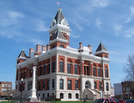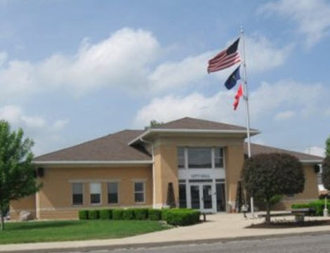
County GIS Solutions

Municipal GIS Solutions
WTH products and services can be combined and configured into specific suites with features especially suited for the requirements of individual agencies. County level agencies and Muncipal level agencies often have similar functions but unique circumstances can require these agencies to use our offerings in ways geared toward their own individual needs.
Surveyor
Section Corner Monuments
Legal Drains
County Boundary
Legal Drains
County Boundary
Economic Development
Development Sites
Wind and Solar Farms
Airports
Railroads
Economic Assets
TIFF Districts
Learn MoreWind and Solar Farms
Airports
Railroads
Economic Assets
TIFF Districts
Planning and Zoning
Zoning Districts
Comprehensive Plan
Sustainability Plan
Municipal Boundary
Learn MoreComprehensive Plan
Sustainability Plan
Municipal Boundary
Economic Development
Development Sites
Downtown Development
Main Street Plan
Economic Assets
Downtown Development
Main Street Plan
Economic Assets
Historic Preservation
Historic Districts
Historic Properties
Historic Properties
Cemeteries
Cemetery Plots
Burial Records
Burial Records


